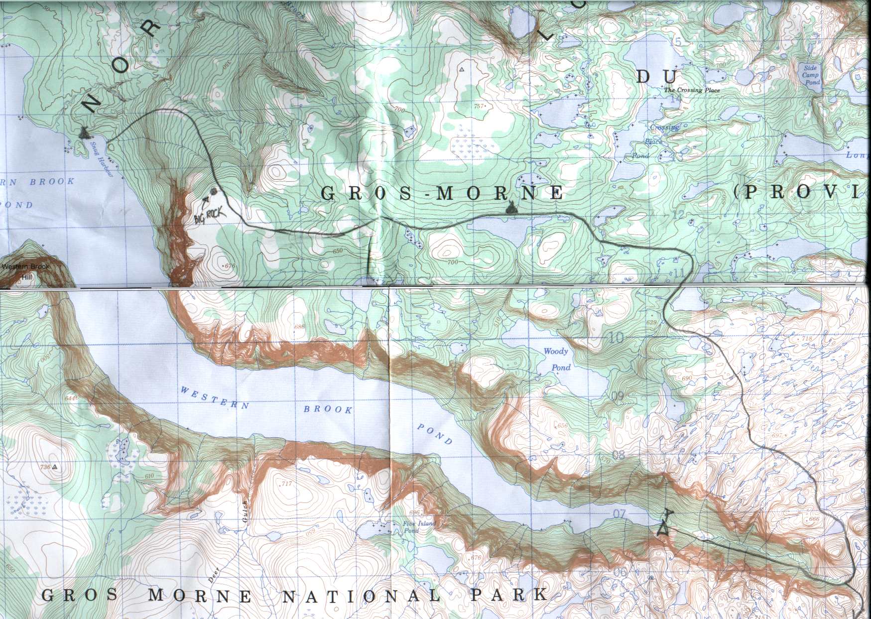
|
Day 1:
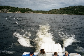
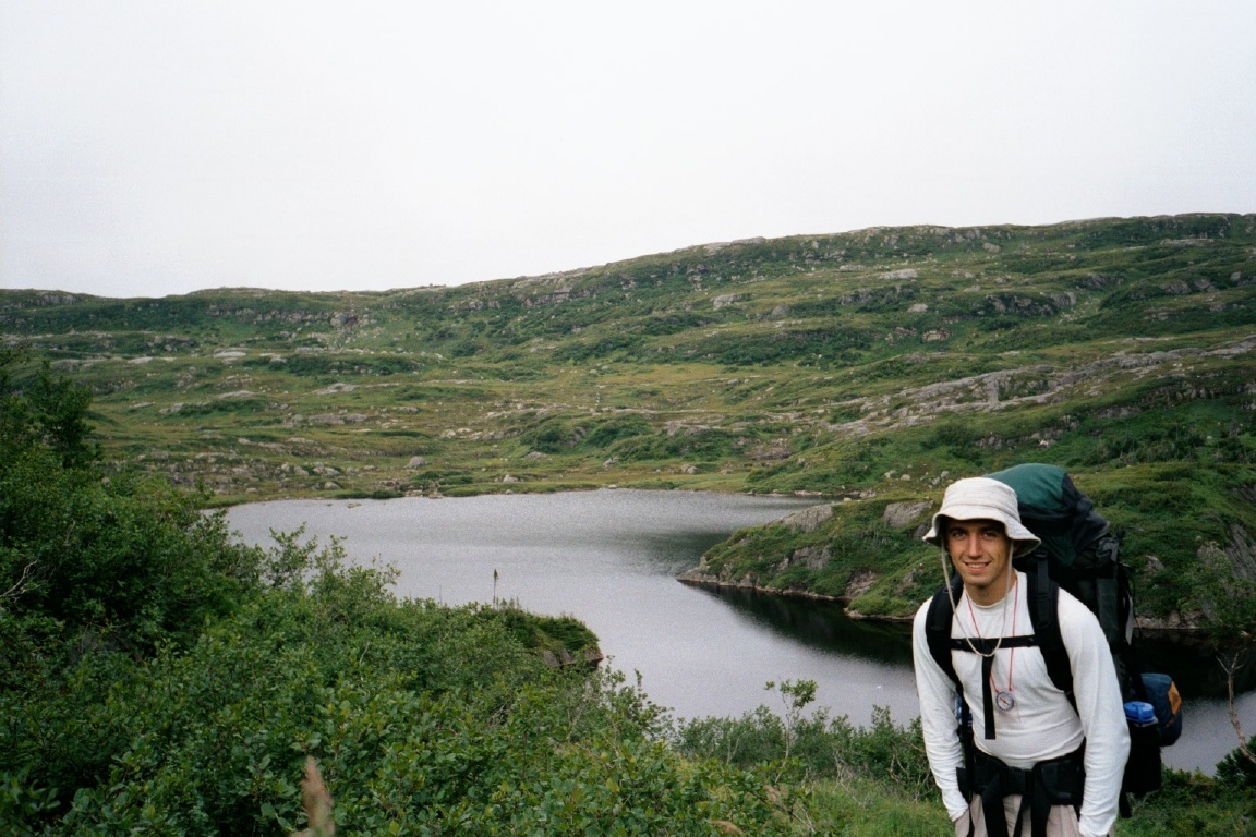
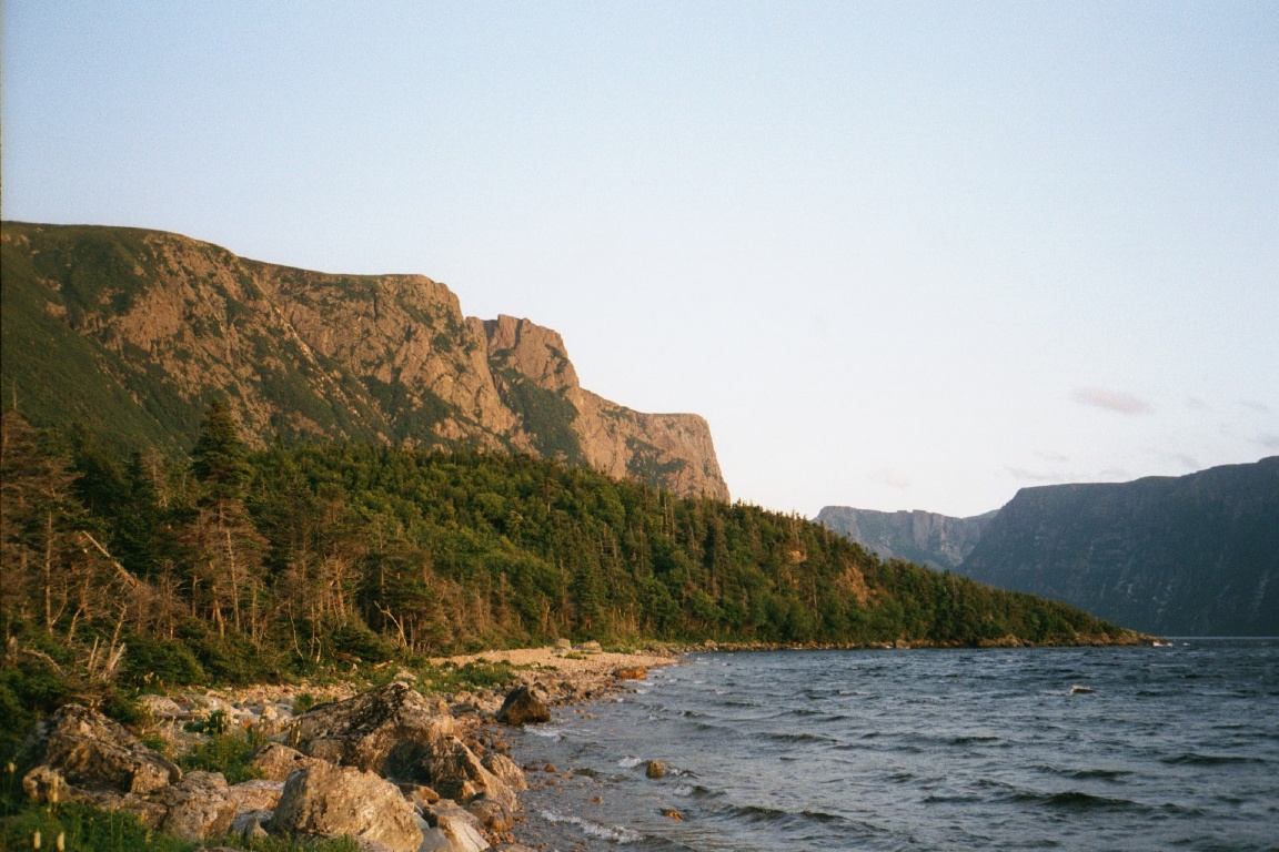
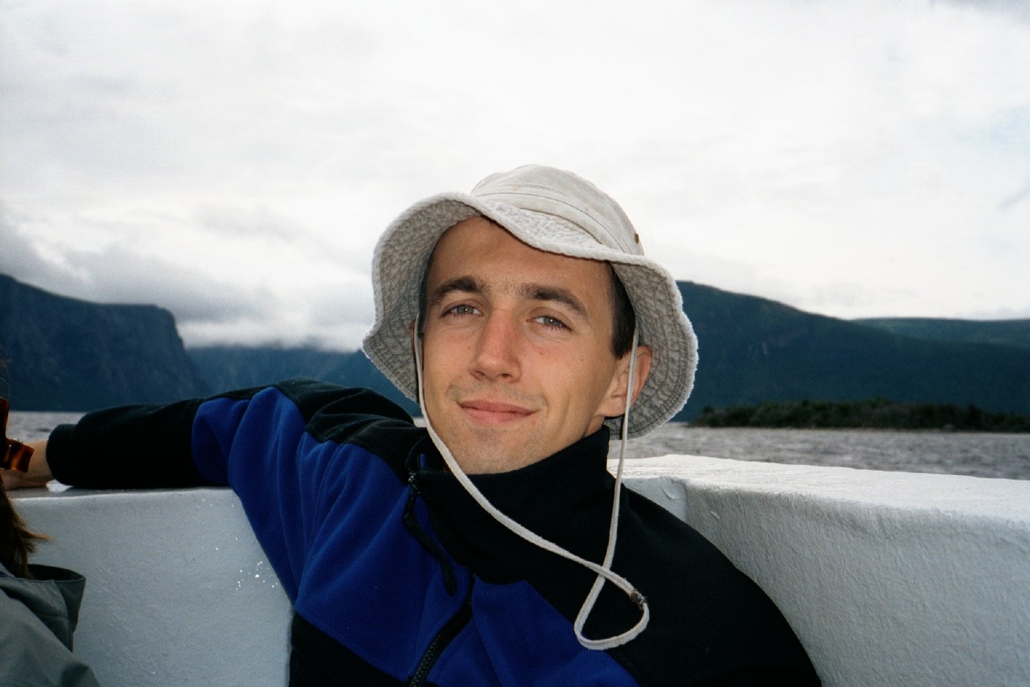
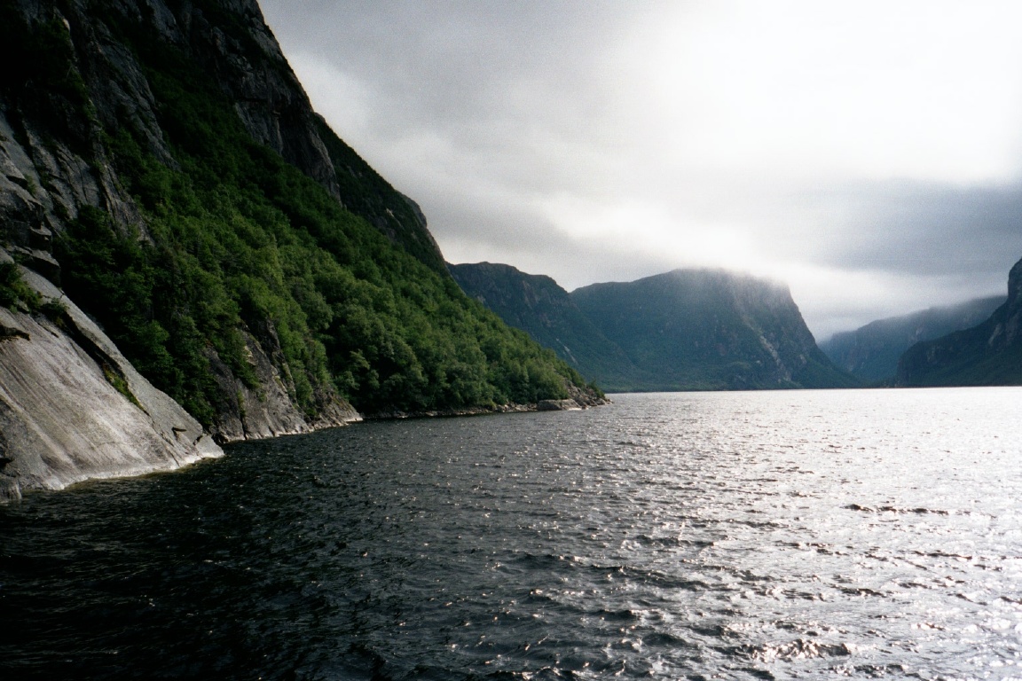
10am The boat leaves from the "civilised" side of the Western
Brook Pond. The pond is really a fjord cut off from the ocean by a
stripe of rising land, and it looks remarkably spectacular. The trip
to the other end of the fjord takes about 1.5hrs, including detours to
see its little wonders, such as the Snug Harbor and the ex-marine cave - about
400 m above sea level where the sea used to be. About 4 other 2 or
3-person parties get off at the same time as us, but most will attempt
the longer (5-day) Long Range Traverse where better conditions are
predicted.
|
Snug Harbor
|
Looking back on Western Brook
Pond
|
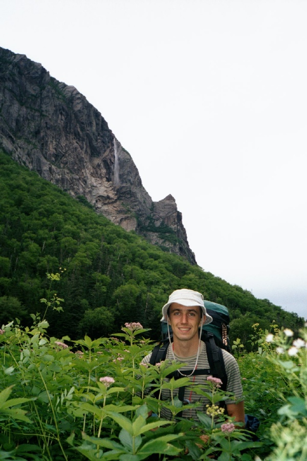
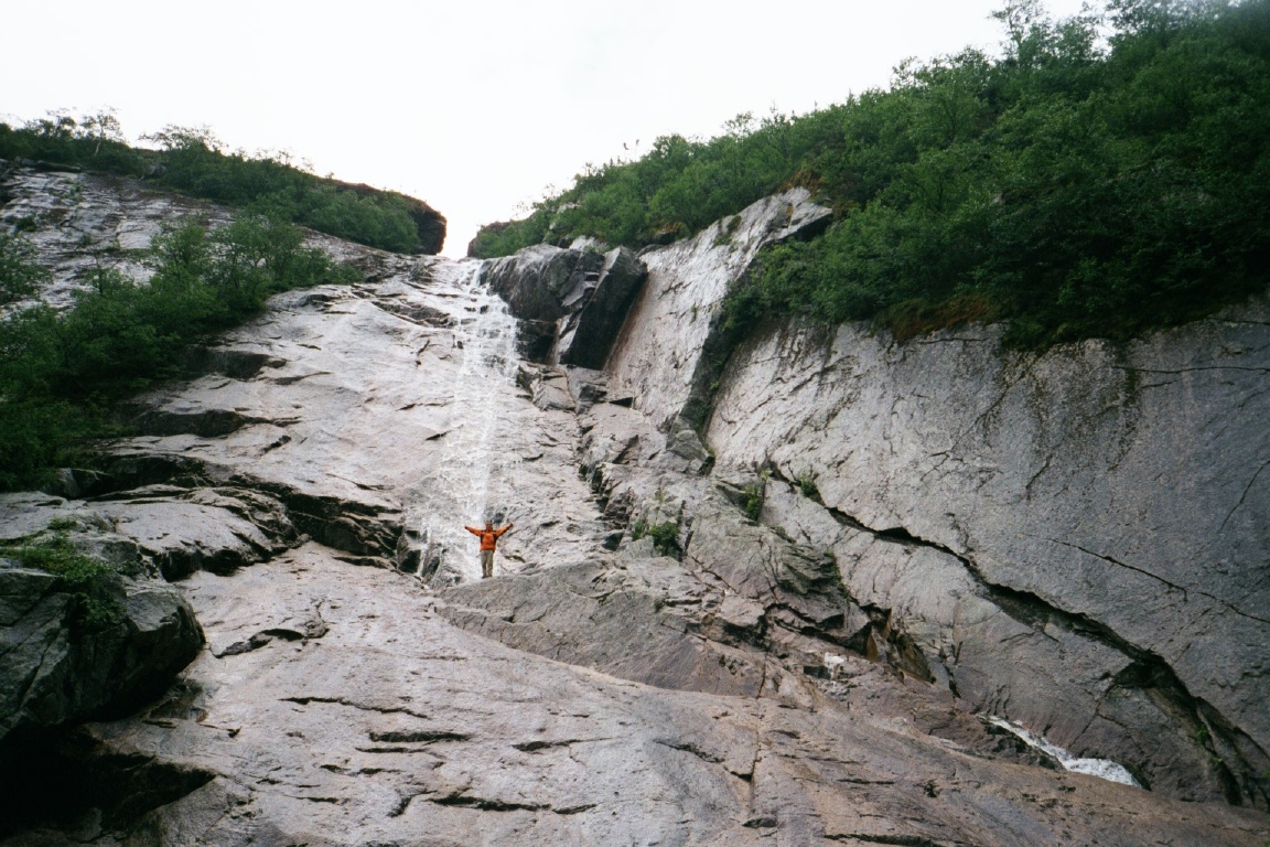
We lose them by first having lunch at the base of the gorge, where we
head around noon, walking on a forest trail and a dry river bed. As
the trail starts going sharply up next to an impressive waterfall, we
meet a couple of well-equiped but nonetheless lost hikers.
They advise
us that the North Rim is supposed to be undoable with unbearable
tuckamore and predicted rain throughout. Sounds good. Soon we're on
top of the gorge, but by 4pm my right knee starts to complain, so we
stop at the first campable spot in the bogs.
|
|
We go for a nap in the
tent, and then have dinner at the
cliff, looking down the steep sides of the fjord and fighting a losing
battle against an army of small flies and mosquitoes. We just make it
back to the camp as the rain starts to pour from the unwelcoming
northen sky (how's that for an epithet?).
|
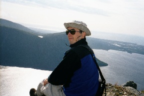
The highest point is our dining hall that night
|

Above treeline (still day 1)
|
Day 2:
It pours down the whole day with unfrequent breaks of at most 10
minutes each. So by 9am or so, we finally find our way out of the dry
and comfortable tent. Breakfast is Ramen (a new concept in Ramen
consumption in the wilderness, I'm sure) as it turns out that we
brought no sweeteners or anything for our 2 pounds of oatmeal. Then we
start walking again. Apparently it had been raining for 5 days
straight just before we came to Gros Morne, and so the top of the Long
Range Mountains is covered in bogs and marshes with all kinds of
streams running pretty much where trails (that is, caribou paths) used
to be
|
|
While we're "above treeline" (400m+), it isn't all that bad
though... the landscape is pretty much what you would expect tundra to
look like in the summer, only with lots of water - lakes, streams, and
bogs. Then there's tuckamore. Caribou paths go through tuckamore,then stop
abruptly at some meadow, or head in the wrong direction. It's unclear
whether we can connect the many meadows into some sort of "trail" that
will lead us to the right place (the other side of this huge tuckamore
field) so we decide unwisely to take a bearing and make our
own way. If you ever face a similar choice in tuckamore, don't. Resist
the temptation. You will not save any time. You will get scratched and
wet, you will rip your expensive gear and you will be a
miserable wreck, as you stumble over the roots and get your backpack
caught in the branches, not that you can tell which is which and where.
|
Wet to the bone
|

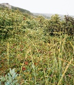
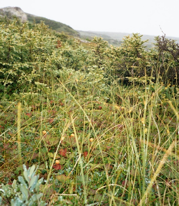
Gorge path (still day 1) and Bakeapple berries
|
Eventually we found other caribou paths which brought us to the
end of the nightmare. On the way we saw a moose cross our
path (good omen?) really close to us, and another one watching us from
a distance. When we finally see "our lake", it's late and we rejoice -
there'll be a campsite. The designated backcountry campsites have
wooden platforms for the tents, firerings and a toilet. By that time,
we are wet to the bones despite all the GoreTex and all the excessive
Nikwax on our shoes - oh, and we stopped about 5 times during the day
to pour water out of our shoes and twist it out of our socks. As the sun
quickly sets, and we hurry to set up camp, I start shivering
uncontrollably and find myself standing there with a sleeping bag in
one hand, unable to do much at all apart from being
cold.
|
Self-diagnosis: hypothermia at an early stage, helps
little. Robert boils water and makes hot jello (we always do it by the
book - see later treatment of burns), helps me out with the tent and
bags, and even unlaces my boots - sweetie.
Dinner is miraculously
cooked while I recover in the tent/sleeping bag with my hot jello and
slightly less wet clothes (water seeped mercilessly through the
backpack and the trashbag liners), and so I venture out - can't eat in
the tent - there are bears all around. Pasta soup is delicious. It's
almost 10pm and sleep is a must. I'm definitely the weak link in our
team :( .
|
Day 3:
Ramen for breakfast, and we're on our way by 9:30am. This is
the first perfectly sunny day - to be sure there are some clouds in
the sky, but compared to the day before they are negligible. This time
we try to avoid tuckamore as much as possible and follow the
ridge. The landscape changes slightly and becomes much more
rocky. Robert wants to go all the way to the edge of the pond, and so
we get lost in a large marsh - when we get past that, having fallen in
at least once each, we have to literally walk on top of a field of
miniature trees, again falling through every now and again. So it
turns out that the fjord drop is too out of the way and
tricky, and that we don't have that much time if we want to return to
the car the same day.
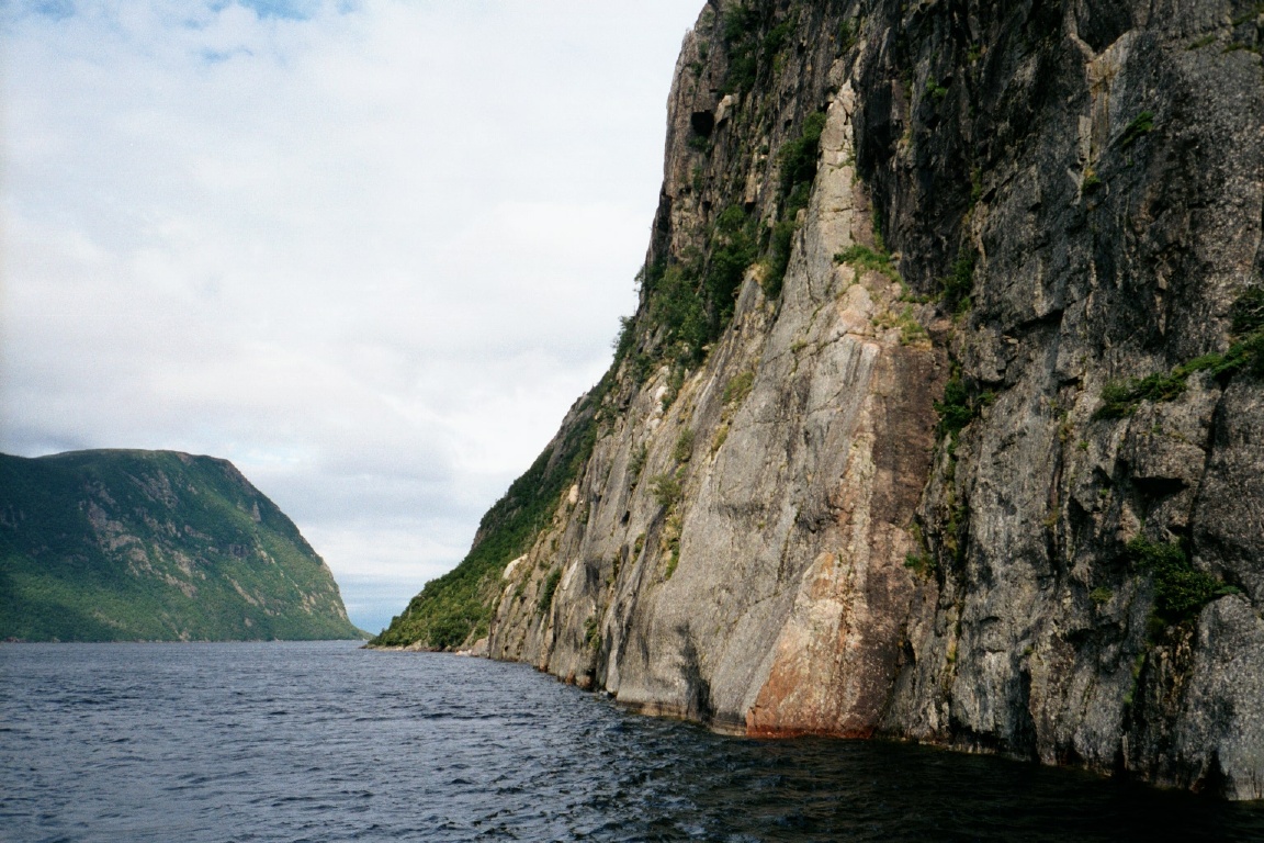
|
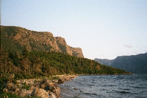
Fjord mouth
|
A little rest in the sun
|
We cut back through the marsh at a narrower point,
and press on, trying our best to look for caribou. It's very windy but
warm so the only layer I'm wearing is GoreTex. We have lunch in a nice
sunny mini-tree field (mini-pines, mini-birches), we get to sit on top
of them and we only have one can of liver spread and four balance bars
left to eat, so we argue over the food as I become suspicious of
Robert's manipulations with the quantities. The dispute is quickly
resolved though, and on we go, this time following the ridge to the
views of the fjord. On the way, we see a very much dead caribou - in
fact, only the skull with horns and some bones are left, - and so we
ponder the ephemeral nature of our lives, memento mori, sic
transit gloria mundi, or whatever you say on the occasion of
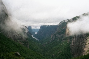
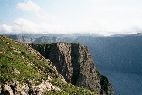
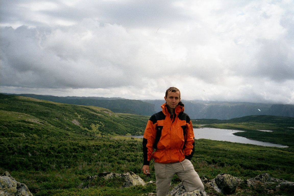
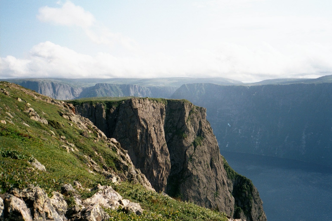
seeing a dead caribou. The views from the top of the fjord are
awesome, see picture attached.
|
|
From there, we descent
on unbending legs (me) late into the night, and finally arrive at the
car at 10pm exhausted.
The whole hike turns out to be much wilder and
harder than it may look on the map. We really had thought the rangers
were just deterring losers from getting stuck on a multi-day
backpacking trip, and we actually planned to do it in 2 or just over 2
days, with food packed accordingly. It turns out that we almost ran
out of food (oatmeal doesn't count) and it took a full three days just
as the park warden had said. I'm really glad we did it though. And we
are thinking of returning in winter to do the whole Long Range
Traverse. Winter of course has to be understood loosely, as its poorly
defined boundaries lie somewhere between late October and early May in
Newfoundland.
|
Snug Harbor revisited by land
|
10:30pm we are eating dinner at "The Fisherman's Landing",
civilisation is a blessing
11:30pm sleep at the Berry Point campground, having lusty dreams of
hot showers in the morning


